


Identify Earth'S Land Features Using Photographs
Subject: Social studies
Grade: Second grade
Topic: Geography
Please LOG IN to download the presentation. Access is available to registered users only.
View More Content


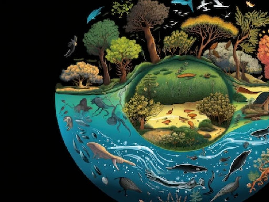

Exploring Earth’s Land Features
– Learn about Earth’s land features
– Discover mountains and valleys
– Mountains are very high areas, valleys are low areas between mountains
– Explore plains and deserts
– Plains are large, flat lands, deserts are dry, sandy areas
– Appreciate Earth’s beauty and diversity
|
This slide introduces the topic of Earth’s land features to second-grade students. It’s designed to spark curiosity about the diverse landscapes that make up our planet. Start by explaining that land features are different natural formations on Earth. Show photographs of each feature: mountains as high, rocky places, often with peaks; valleys as the lower areas between mountains; plains as wide stretches of flat land; and deserts as vast, dry areas with sand or rocks. Emphasize the importance of these features in the Earth’s ecosystem and how they contribute to the planet’s beauty and diversity. Encourage students to think about these features and how they might affect the environment and the living things that inhabit them.
Exploring Geography: Earth’s Land Features
– Geography: study of places
– It’s about our world and the spaces we live in!
– Relationship: people and environment
– How we live with the land, water, and air around us.
– Understanding locations
– Why are deserts dry? Why are mountains high?
– Observing development over time
– How does a place change from past to now?
|
This slide introduces the concept of geography to second graders, emphasizing its importance in understanding the world around them. Geography is not just about maps; it’s about the relationship between people and the environment, and how various factors contribute to the development of different land features. Use photographs to show diverse geographical features like mountains, rivers, and deserts, and discuss how these features affect the lives of people living there. Encourage students to think about their own environment and how it might be different from other places around the world. This will set the foundation for identifying Earth’s land features using photographs in subsequent lessons.
Exploring Mountains
– Mountains are tall and rocky
– They’re higher than hills and made of rock
– Some mountains have snowy peaks
– The top of some mountains are covered with snow
– Example: The Rocky Mountains
– A famous mountain range in the U.S.
|
This slide introduces students to the concept of mountains as a type of Earth’s land features. Emphasize the characteristics of mountains, such as their height and rocky nature. Explain that mountains can sometimes have snow at their peaks, which can be seen in photographs or if they visit such places. Use the Rocky Mountains as a specific example to help them identify and connect with a real-world example. Encourage students to think about other mountain ranges they may know or have heard about. Show them pictures of various mountains, including the Rockies, to enhance their understanding.
Exploring Valleys
– Valleys: Low areas on Earth
– Valleys are like big dips or trenches in the landscape
– Often found between hills
– They are cradled by mountains or hills on either side
– Many valleys are lush and green
– The green color comes from plants that grow well near water
– Rivers may flow through valleys
– Rivers provide water, making valleys great for farming
|
This slide introduces valleys as one of Earth’s land features. Explain to the students that valleys are lower parts of the land, usually situated between mountains or hills. They can be vast and flat or narrow and deep. Many valleys have a river, which makes the soil fertile and supports a variety of plant and animal life. Show photographs of different types of valleys to help students visualize and understand the concept. Discuss why valleys are important for agriculture and how they can be habitats for diverse ecosystems. Encourage students to think about valleys they may have seen or visited.
Exploring Plains: Earth’s Land Features
– What are plains?
– Plains are flat and vast
– Large areas where it’s easy to walk and see far away
– The Great Plains: America’s Breadbasket
– A huge area in the USA where we grow our food
– Importance of plains in farming
– We can grow lots of plants because plains are so big and flat
|
This slide introduces the concept of plains as a type of land feature on Earth. Explain to the students that plains are very large, flat areas of land where it’s easy to walk because there are no big hills or mountains. Use the Great Plains as a specific example, highlighting its nickname ‘America’s Breadbasket’ due to its extensive use in agriculture. Emphasize the importance of plains for growing food because of their fertile soil and flat land, which makes it easier to plant and harvest crops. Encourage students to think about other flat areas they know and consider what might be grown there.
Exploring Deserts
– Deserts are dry with little water
– Few plants grow in deserts
– The Sahara is a huge desert
– The Sahara Desert is in Africa and is very big
– Deserts can be hot or cold
– Not all deserts are hot; some are cold, like Antarctica
|
This slide introduces students to the concept of deserts as a type of land feature on Earth. Emphasize the lack of water and sparse vegetation that characterize deserts. Highlight the Sahara Desert as an example of a large hot desert, and contrast it with the fact that deserts can also be cold, using Antarctica as an example. Encourage students to think about the differences between deserts and other environments they have learned about. Show photographs of both hot and cold deserts to illustrate the diversity within desert landscapes. Ask students to describe what they see in the photographs and how those images help them to understand what a desert is like.
Exploring Earth’s Land Features
– Observe various land photographs
– Identify features from our lessons
– Use clues like land shape
– Is it flat, hilly, or mountainous?
– Notice the vegetation present
– Are there trees, grass, or no plants?
|
This slide is aimed at helping second-grade students apply their knowledge of geography to real-world examples through photographs. Encourage the students to carefully look at each photograph and recall the different land features they have learned about, such as mountains, valleys, plains, and hills. Ask them to describe the shape of the land in each picture and to observe the types of plants growing there, as these are important clues that can help identify the land feature. This interactive activity will not only reinforce their understanding of the topic but also enhance their observational skills. Make sure to have a diverse set of photographs that clearly depict different land features for the students to analyze.
Class Activity: Land Feature Hunt
– Let’s explore land features
– Draw the land features you find
– Look for hills, valleys, or plains around our school
– Share your drawings with the class
– Tell us about each feature you drew
– Learn about Earth’s geography
|
This activity is designed to get students engaged with the physical geography that surrounds them. By exploring the school’s surroundings, students will search for and identify various land features such as hills, valleys, plains, and any other geographical formations accessible. They will then draw these features to help solidify their understanding of what each feature looks like and where it can be found. After the hunt, students will share their drawings with the class, discussing what they found and where they found it. This will help them to not only recognize land features but also to communicate their findings effectively. For the teacher: Prepare a list of possible land features students might find around the school, and be ready to guide them in identifying and drawing the features. Encourage them to describe the location and characteristics of each feature during the sharing session.
Exploring Earth’s Land Features
– Congratulations on your hard work!
– Geography knowledge is planet care
– Knowing about land helps us protect Earth
– Next lesson: Lakes and Rivers
– We’ll discover bodies of water and their importance
– Keep exploring and learning!
|
This slide wraps up the lesson on Earth’s land features, congratulating the students on their efforts to identify different geographical formations. Emphasize the importance of understanding geography as a means to care for our planet. This sets the stage for the upcoming lesson on water features, such as lakes and rivers, which will build upon their knowledge of the Earth’s surface. Encourage the students to continue exploring and learning about the world around them, fostering a sense of curiosity and stewardship for the environment.
