


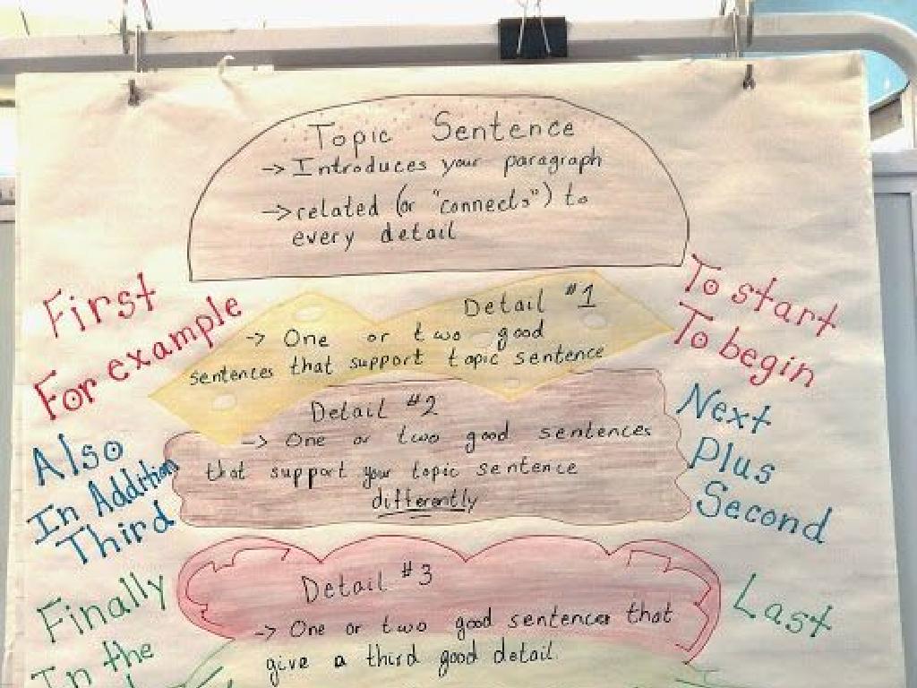
Read A Map: Cardinal Directions
Subject: Social studies
Grade: Third grade
Topic: Geography
Please LOG IN to download the presentation. Access is available to registered users only.
View More Content
Today’s Adventure: Reading a Map!
– What are Cardinal Directions?
– North, East, South, West: main directions
– Map Reading is a fun skill
– Why learn to read maps?
– Helps us find places and plan routes
– Navigating our world
– Use directions to explore and travel safely
|
Begin the class with an exciting introduction to the day’s lesson on map reading, emphasizing the adventure aspect to engage the students. Explain the cardinal directions as the basic points of navigation. Highlight the importance of map reading as a practical skill that allows us to locate places and determine the best way to reach them. Discuss why learning to read maps is crucial, not just for finding our way but also for understanding geography and developing spatial awareness. Encourage students to think about how they use directions in their daily lives, such as navigating to school or the park. Introduce activities where students can practice using cardinal directions in a fun and interactive way.
Understanding Maps: An Overview
– A map is a place’s picture from above
– Maps guide us to locate places
– Like a treasure map helps find treasure, a road map helps find streets
– Various maps for various purposes
– Weather, topographic, and political maps serve different needs
– Learning to read a map
– We’ll focus on using cardinal directions to navigate
|
Introduce the concept of a map to the students by explaining that it is a representation of a place seen from above. Emphasize how maps are important tools for finding locations and understanding the world around us. Discuss the different types of maps, such as weather maps, topographic maps, and political maps, and explain that each type serves a specific purpose. Highlight the importance of learning to read maps effectively, with a focus on using cardinal directions (North, East, South, West) to navigate. Encourage students to think about times they have used maps in their daily lives, such as at a zoo or amusement park, and how those experiences relate to what they will learn about cardinal directions.
Finding Directions with Cardinal Points
– Learn the Cardinal Directions
– North, South, East, and West are the main directions.
– Using a compass to find direction
– A compass needle points to the magnetic North.
– Finding direction with the sun
– The sun rises in the East and sets in the West.
– Practice with real-world examples
– Use maps in class to locate places using cardinal directions.
|
This slide introduces students to the basic concepts of navigation using cardinal directions. Start by explaining the four main cardinal points: North, South, East, and West. Show how a compass is used as a tool to find direction, with its needle always pointing towards the magnetic North. Teach students how to use the position of the sun to determine direction: the sun rises in the East and sets in the West. Finally, engage the students with hands-on activities where they use actual maps to find the direction of different places using cardinal points. This practical application will help solidify their understanding of how to read a map and find their way.
Understanding Map Symbols
– Symbols depict map features
– Cities might be dots, rivers blue lines, mountains triangles
– Legends decode symbols
– A legend or key explains each symbol’s meaning
– Practice with classroom map
– Find and match symbols on our map to the legend
– Recognize cities, rivers, mountains
|
This slide introduces students to the concept of symbols on maps and their importance in representing physical features such as cities, rivers, and mountains. The legend, or key, is crucial as it helps decode these symbols. For the class activity, provide a large classroom map and ask students to identify and match various symbols to their meanings in the legend. This practical exercise will help reinforce their understanding of map symbols and how to interpret them. Encourage students to discuss the symbols they find and what those features represent in the real world.
Let’s Read a Map: Cardinal Directions
– Identify cardinal directions
– North, South, East, West on a map
– Find landmarks using directions
– Use directions to locate places
– Example: School to Library
– If school is South, library is North
– Practice with your own map
|
This slide introduces students to the basics of map reading with a focus on understanding cardinal directions, which are essential for navigation. Start by explaining what cardinal directions are and how they are represented on a map. Then, move on to a practical example by showing how to find a landmark, such as a library, from another point, like a school, using cardinal directions. Encourage students to apply this knowledge by finding different landmarks on a map using cardinal directions. As an activity, students can bring a simple map from home and practice identifying cardinal directions and locating places.
Activity Time: Create Your Classroom Map!
– Draw a map of our classroom
– Include a compass rose
– Make sure to show North, East, South, West
– Add symbols for objects/areas
– Desks could be squares, bookshelf might be a rectangle
– Use cardinal directions
|
This activity is designed to help students understand and apply the concept of cardinal directions in a fun and interactive way. By drawing a map of something familiar, like their classroom, they can relate to the material more personally. Encourage creativity but also accuracy in representing the classroom layout. The compass rose should be clearly labeled with the cardinal directions. Students should think about where the sun rises and sets to help them orient their map correctly. Symbols should be simple and represent key areas or objects in the classroom, such as desks, the teacher’s desk, the door, and windows. This activity will reinforce their understanding of maps and how to use cardinal directions to navigate.
Map Quest Game: Finding the Secret Spot
– Pair up with a classmate
– Each pair gets a map
– Give directions using cardinal points
– Use ‘North’, ‘South’, ‘East’, ‘West’ to guide
– Find the secret spot on the map
– The secret spot could be a landmark or hidden treasure
|
This interactive activity is designed to help students apply their knowledge of cardinal directions in a fun and engaging way. By working in pairs, students will have the opportunity to practice giving and following directions using the cardinal points North, South, East, and West. Each pair will have a map, and one student will direct their partner to a predetermined ‘secret spot’ on the map using only cardinal directions. This exercise will reinforce their understanding of geography and spatial awareness. As a teacher, prepare maps with clear cardinal directions and secret spots marked. Ensure that each pair has a different secret spot to keep the activity varied and interesting. Possible variations of the activity could include using a larger map on the classroom floor, incorporating obstacles, or timing the activity for a competitive element.
Maps and Cardinal Directions: Conclusion & Review
– Importance of maps
– Reviewing cardinal directions
– North, South, East, West guide us on a map
– Understanding map symbols
– Symbols represent real-world objects or features
– Maps in daily life
– Finding places and planning routes
|
As we wrap up our lesson on maps and cardinal directions, it’s crucial to reinforce the importance of maps in understanding our world. They help us navigate from one place to another and understand the geography of different areas. Review the cardinal directions North, South, East, and West as they are the foundation for reading any map. Also, revisit the various symbols used on maps and what they represent, such as trees for forests or waves for water bodies. Discuss with students how they use maps in their daily lives, such as finding a friend’s house or the route to school. Encourage them to share experiences where they have used or could use a map to find their way.
