Identify Oceans And Continents
Subject: Social studies
Grade: Fifth grade
Topic: Physical Geography
Please LOG IN to download the presentation. Access is available to registered users only.
View More Content
Exploring Earth’s Oceans and Continents
– Earth’s major oceans
– Pacific, Atlantic, Indian, Southern, Arctic
– Our planet’s continents
– Asia, Africa, North America, South America, Antarctica, Europe, Australia
– Physical features and geography
– Mountains, valleys, plains, and plateaus
– Importance of oceans and continents
– They shape climate, culture, and biodiversity
|
This slide introduces students to the vastness of our planet’s physical geography, focusing on the major oceans and continents. Begin by discussing the five oceans: the Pacific, Atlantic, Indian, Southern, and Arctic, and their locations on Earth. Then, move on to the seven continents: Asia, Africa, North America, South America, Antarctica, Europe, and Australia, emphasizing their unique features. Explain how physical features like mountains and valleys are part of Earth’s geography. Highlight the significance of oceans and continents in influencing climate patterns, the development of cultures, and the diversity of life. Encourage students to think about how these large physical features can be seen from space and how they affect every aspect of life on Earth.
Exploring Physical Geography
– Understanding Earth’s landscapes
– Study of natural features like mountains, valleys
– Physical geography: land, water, life
– Includes mountains, rivers, oceans, and living organisms
– Human interactions with geography
– How we live with, use, and change our planet
|
Physical geography is the branch of geography dealing with natural features and processes. It encompasses the study of the Earth’s landscapes, environments, and the changes they undergo. This slide introduces students to the concept of physical geography, which includes the study of landforms, bodies of water like oceans, and ecosystems. It also touches on how humans interact with their environment, such as farming, urban development, and conservation. Encourage students to think about their local environment and how it fits into the broader context of physical geography. This will set the stage for learning about the Earth’s oceans and continents, helping them understand the planet’s diverse and interconnected natural systems.
Exploring Our World: The Seven Continents
– Earth has Seven Continents
– Learn the Continent Names
– Asia, Africa, North America, South America, Antarctica, Europe, and Australia
– Each Continent’s Unique Features
– Asia is the largest, Antarctica is the coldest, Africa has the most countries
– Discuss why continents are important
– Continents are home to diverse cultures, ecosystems, and histories
|
This slide introduces students to the concept of continents as large landmasses on Earth. There are seven continents, each with its own set of unique characteristics, such as size, climate, and biodiversity. Emphasize the importance of continents in understanding world geography, cultural diversity, and global ecosystems. Encourage students to think about how continents affect the way we live and interact with our environment. In the next class, we can have an activity where students locate each continent on a map and list countries or interesting facts about each one.
Exploring the Oceans
– Earth’s five major oceans
– Pacific, Atlantic, Indian, Southern, Arctic
– Learn the ocean names
– Pacific is the largest ocean
– Discover ocean facts
– Atlantic is the busiest for trade
– Oceans’ role in geography
– Oceans regulate climate & support biodiversity
|
This slide introduces students to the vast bodies of water that cover our planet. Start by explaining that Earth is predominantly covered by oceans, which are large areas of saltwater. There are five major oceans: the Pacific, Atlantic, Indian, Southern, and Arctic. Highlight that the Pacific Ocean is the largest and deepest, while the Atlantic is known for its busy shipping routes. Discuss interesting facts, such as the unique wildlife and ecosystems found in each ocean, and their importance in global climate regulation and geography. Encourage students to think about how oceans affect weather and life on Earth. This will help them appreciate the significance of oceans beyond just their size and location.
Exploring Earth: Continents and Oceans
– Earth’s geography layout
– The largest continent: Asia
– Asia covers about 30% of Earth’s land area.
– The largest ocean: Pacific
– Pacific Ocean spans more than 60 million sq. miles.
– The smallest continent: Australia
– Australia is also a country, surrounded by the Indian and Pacific Oceans.
|
This slide aims to give students a clear understanding of how continents and oceans are arranged on our planet. Emphasize that there are seven continents and five oceans, with Asia being the largest continent and the Pacific Ocean being the largest ocean. Contrast this with Australia, which is unique as it is both a continent and a country, and is the smallest continent. Use a globe or world map to point out each continent and ocean. Encourage students to think about the relative sizes and positions of these landmasses and bodies of water, and how they might affect climate and ecosystems.
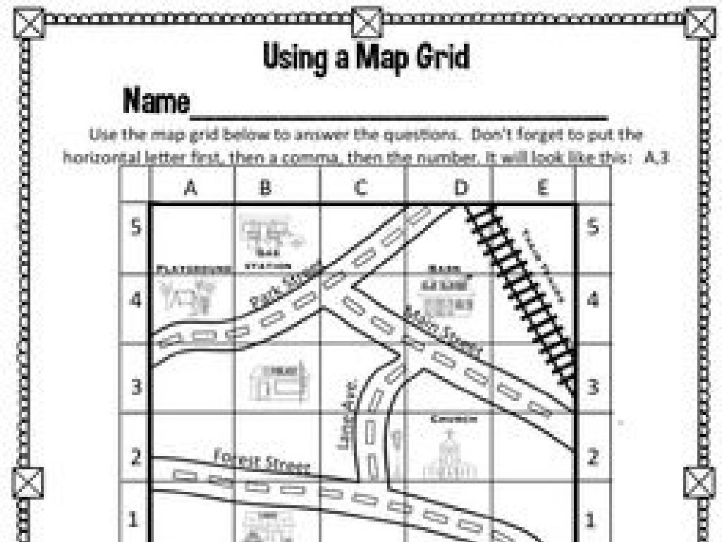
Activity: Label the Map
– Label continents and oceans
– Use clues for correct locations
– Clues like ‘largest ocean’ or ‘southernmost continent’
– Share your map with a partner
– Discuss findings with the class
– Explain your choices to your partner
|
This activity is designed to help students identify and label the seven continents and five oceans on a map. Provide each student with a blank map and a set of clues to guide them in labeling. Clues should be based on physical geography, such as ‘This ocean is the largest and is on the western side of the United States.’ Once students have labeled their maps, they should pair up to compare their maps and discuss any differences. Encourage them to explain their reasoning for the placement of each label. This peer interaction will reinforce their learning and help clarify any misconceptions. Conclude the activity with a class discussion, allowing students to share their findings and reflect on the activity.
Class Activity: World Explorer Game
– Become a World Explorer!
– Find and mark continents and oceans
– Use a world map to locate and label each continent and ocean
– Discuss findings with teammates
– Share interesting facts or observations about each location
– Reflect on the activity
– Think about what new information was learned and how it connects to what we know
|
This interactive class activity is designed to engage students in a hands-on learning experience about the world’s continents and oceans. Divide the class into small teams and provide each team with a large map of the world. Each team will work together to identify and label the continents and oceans. After the activity, teams will discuss what they’ve learned and share any interesting facts they discovered. This will help reinforce their knowledge and encourage collaboration. As a teacher, facilitate the discussions and make sure each student participates. Possible activities for different students could include drawing the continents, listing countries in each continent, or identifying the largest oceans. This activity will help students better understand the physical geography of our planet.
Exploring Our World: Review & Importance
– Recap of continents and oceans
– Importance of this knowledge
– Understanding Earth’s geography helps us appreciate our planet and navigate it.
– Excitement for next geography lesson
– Get ready to dive deeper into the wonders of our world in the next class!
– Review activity: Labeling map
– Can you label all the continents and oceans on a blank map?
|
This slide aims to consolidate the knowledge gained in today’s class about the continents and oceans. It’s crucial for students to understand the relevance of geography in their daily lives, such as in weather patterns, cultural diversity, and global connections. The review activity should reinforce their ability to identify and label each continent and ocean on a map, ensuring they are prepared for more advanced topics in geography. Encourage students to share what they found most interesting about today’s lesson and to think about how this knowledge can be applied in real-world scenarios. The next lesson will build on this foundation, so it’s important they grasp these basics.

